


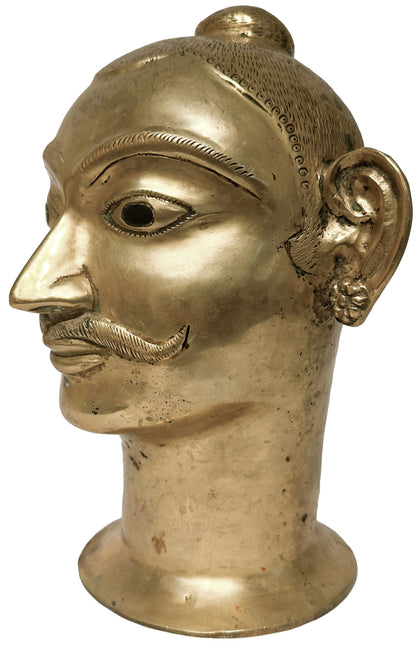
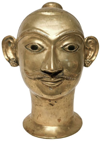
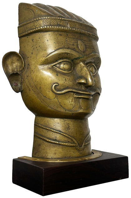
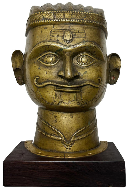
Loading...


 View Full Screen
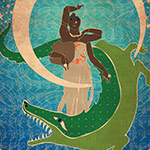
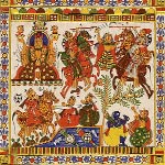
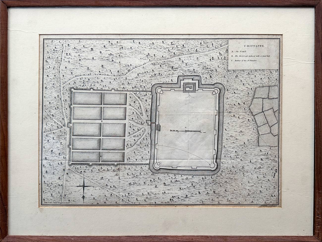
Map of Chittapet in the Third Carnatic War, 1763
(inclusive of taxes)
 Request Information
 Request A Call Back

All orders are insured for transit.
This item cannot be shipped outside India.
You May Also Like
-
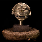
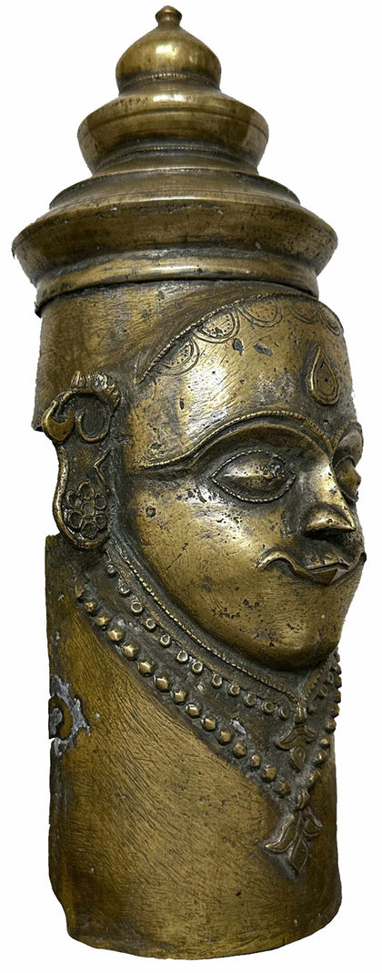
Mukhalinga 05
Brass 9 x 7 x 11 inchesPrice on Inquiry| Sold -
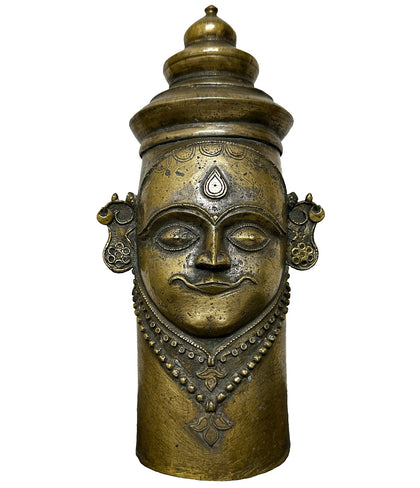
Mukhalinga 06
Brass 11 x 6 x 16 inchesPrice on Inquiry| Sold -
Devi Kavacham
Bronze 6.5 x 6 x 14 inchesPrice on Inquiry| Sold -
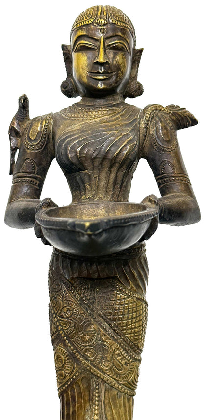
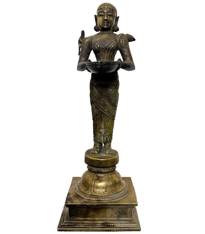
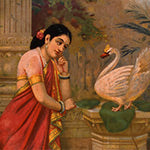
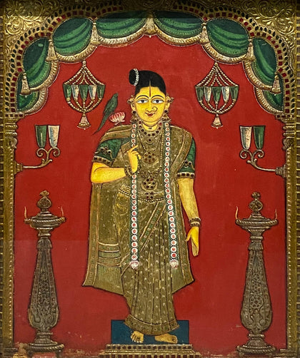
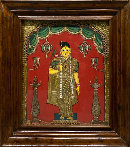
Deepalakshmi with Parakeet
Brass 4.75 x 4.75 x 13.75 inchesPrice on Inquiry| Sold -
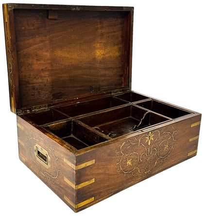
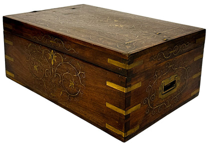
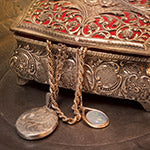
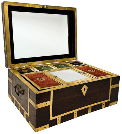
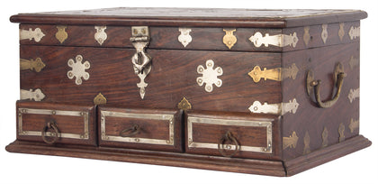
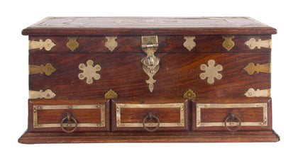
Deccan Jewellery Box with Floral Brass Inlay
Rosewood and Brass 15 x 10 x 6.25 inches -
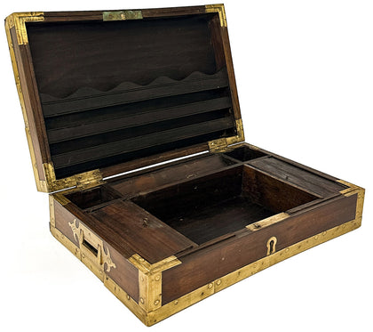
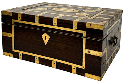
Rosewood Jewellery Box with Brass Trim 01
Rosewood and Brass 14 x 9.5 x 4.5 inches -
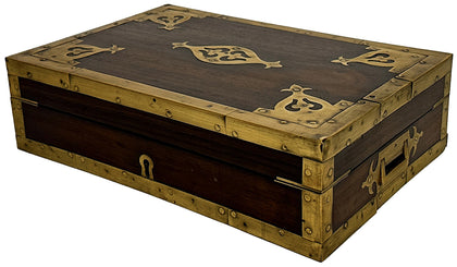
Rosewood Jewellery Box with Brass Trim 02
Rosewood and Brass 17.5 x 12.5 x 8 inches -
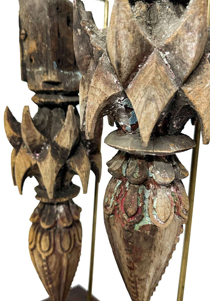
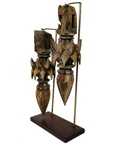
Deccan Architectural Elements
Teakwood 10 x 4.25 x 20 inchesPrice on Inquiry| Sold -
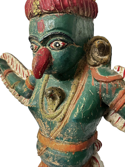
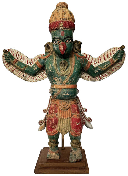
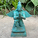
Wooden Garuda
Polychrome Wood 27 x 9 x 34 inchesPrice on Inquiry| Sold -
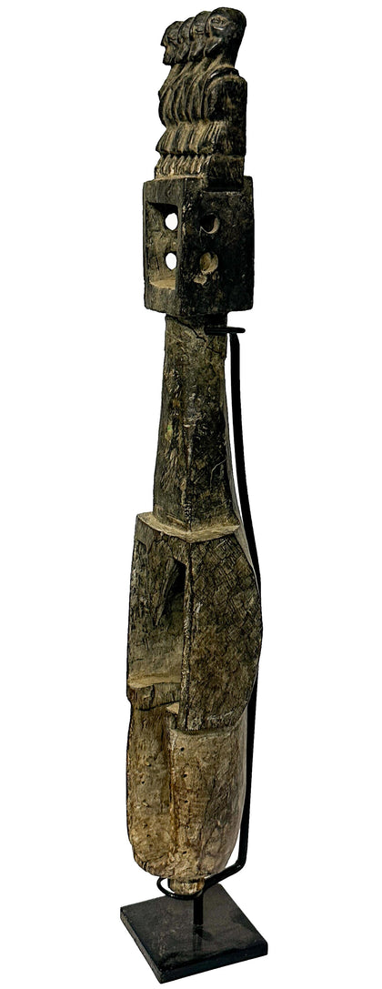
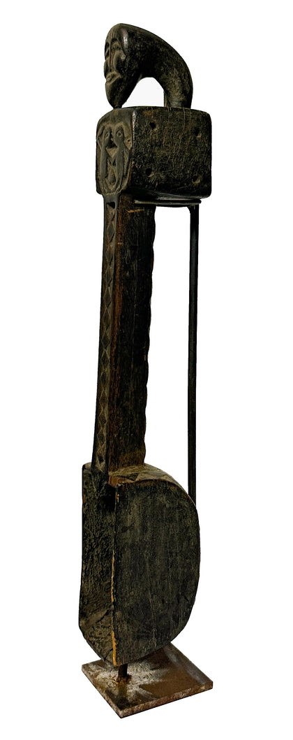
Dhodro Banam - 01
Wood 4.5 x 4 x 30.5 inchesPrice on Inquiry| Sold -
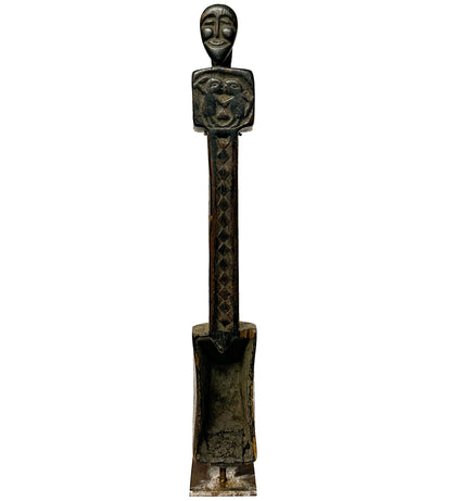
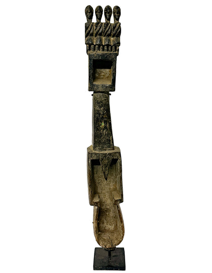
Dhodro Banam - 02
Wood 3.5 x 3.75 x 23 inches -
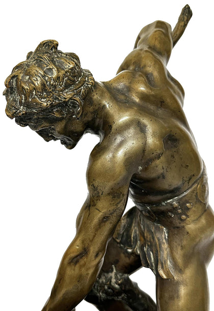
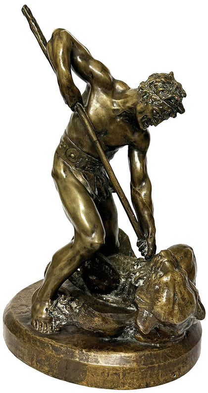
Gladiator Battling With Tiger by Marc Robert
Bronze 16 x 13.5 x 20 inchesPrice on Inquiry| Sold -
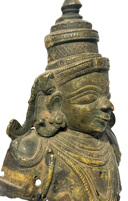
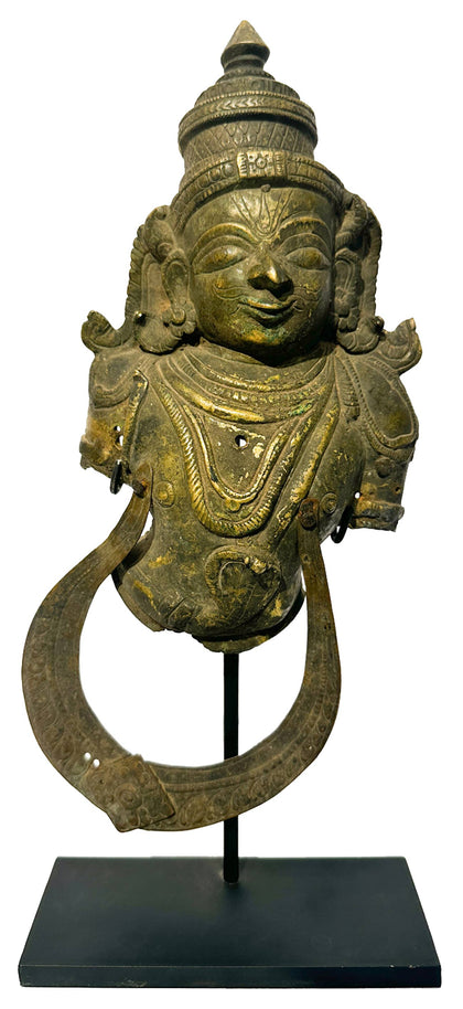
Garuda Kavacham
Brass 6.5 x 2.5 x 14 inchesPrice on Inquiry| Sold -
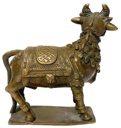
Nandi 05
Brass 4.5 x 2 x 5 inchesPrice on Inquiry| Sold -
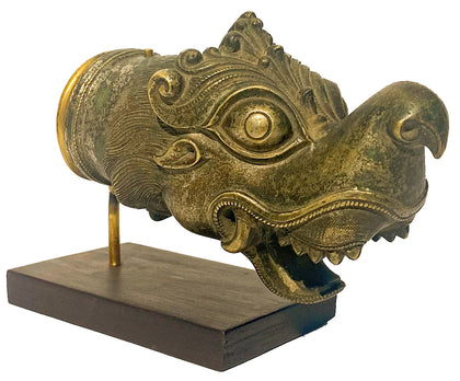
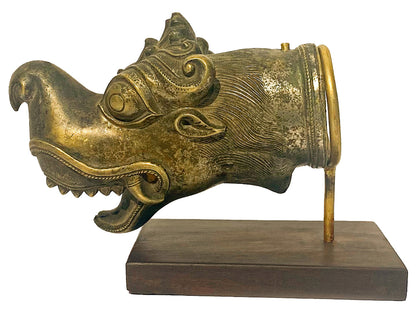
Makara Yazhi (Yali) Palki Finial
Brass 7.5 x 3 x 5.25 inchesPrice on Inquiry| Sold -
Hanuman Mukhavata
Brass 6.5 x 3.75 x 11 inches -
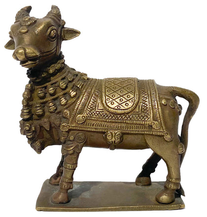
Nandi 06
Brass 5.75 x 2.5 x 6.5 inchesPrice on Inquiry| Sold -
Bala Krishna
Bronze 3.5 x 3.5 x 4 inchesPrice on Inquiry| Sold -
Maisandaya
Bronze 10.25 x 4.25 x 6.75 inches -
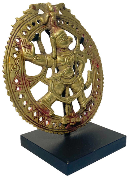
Hanuman Plaque 01
Brass 6 x 2 x 7.75 inchesPrice on Inquiry| Sold -
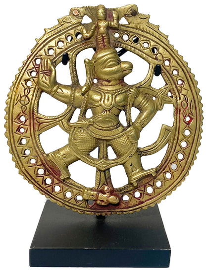
Hanuman Plaque 02
Brass 4.5 x 0.75 x 5 inchesPrice on Inquiry| Sold -
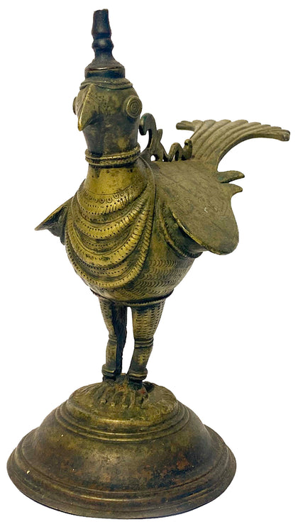
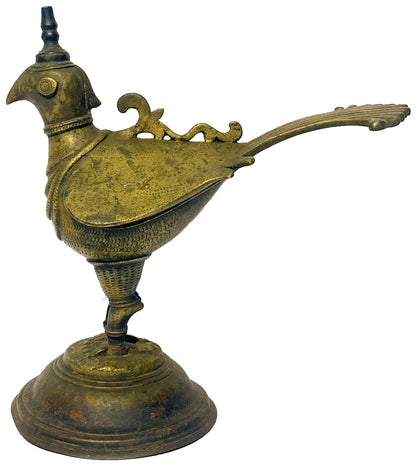
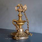
Deccan Bird Oil Lamp
Brass 9 x 5 x 9.5 inchesPrice on Inquiry| Sold -
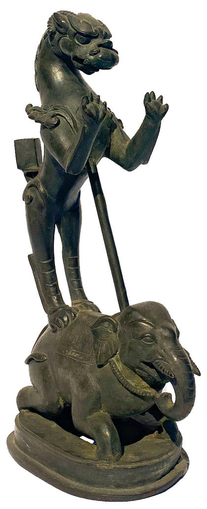
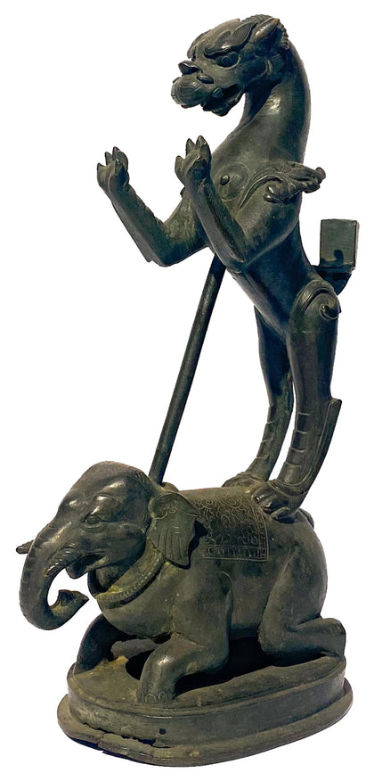
Yali and Elephant Lamp Pedestal
Bronze 7.75 x 4.25 x 13 inchesPrice on Inquiry| Sold -
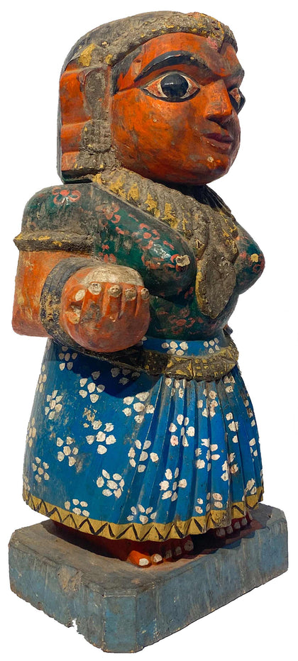
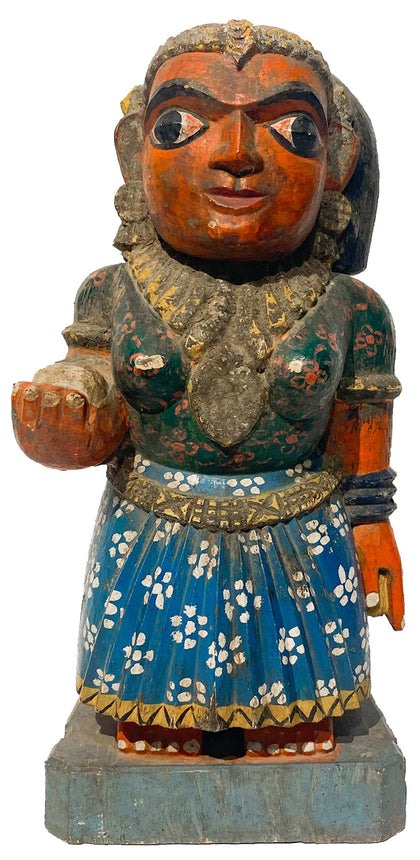
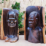
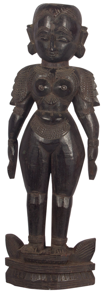
Chikku (Female Attendant)
Polychrome Wood 6.5 x 5 x 13.5 inches -
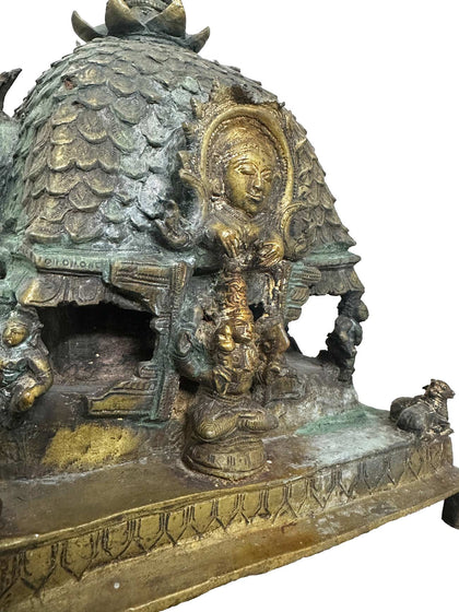
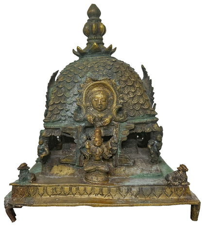
Mandapam
Brass 9 x 9 x 11 inchesPrice on Inquiry -
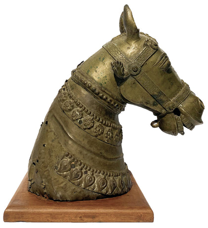
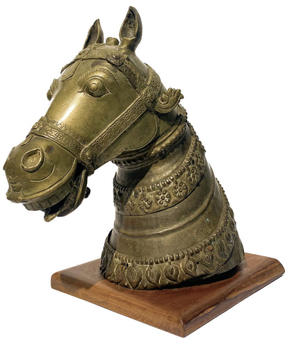
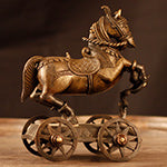
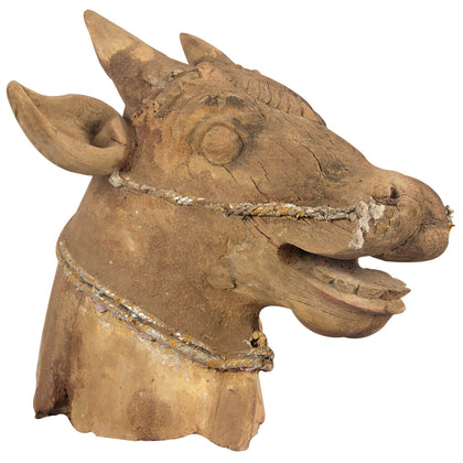
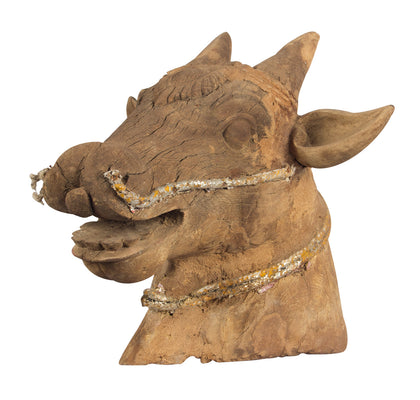
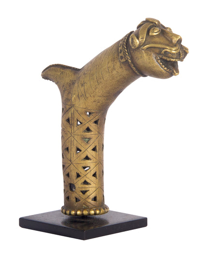
Horse Head
Brass 14.5 x 9.5 x 15.5 inches -
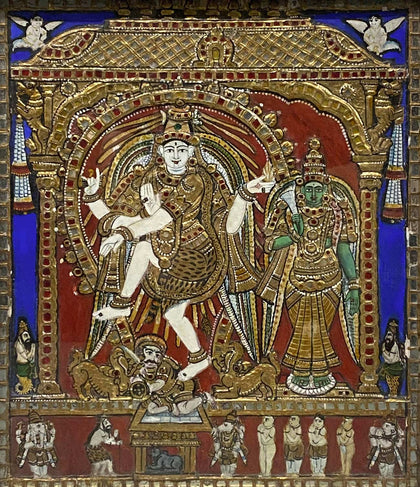
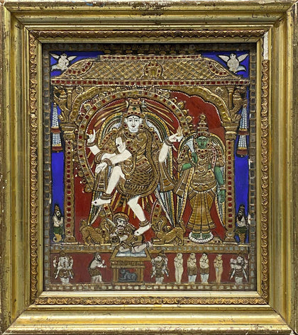
Nataraja and Meenakshi
Tanjore Painting 16 x 2.5 x 17.75 inchesPrice on Inquiry| Sold -
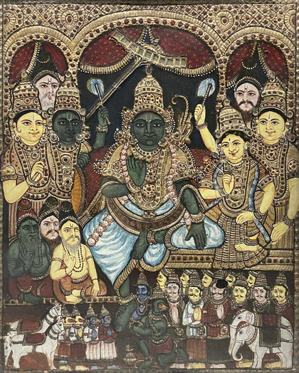
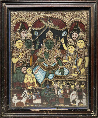
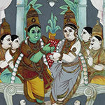
Rama Pattabhishekha (Rama's Coronation)
Tanjore Painting 20 x 1.5 x 24 inchesPrice on Inquiry| Sold -
Varalakshmi
Tanjore Painting 20.5 x 2 x 25.5 inches -
Gajalakshmi
Tanjore Painting 27 x 1.75 x 15 inchesPrice on Inquiry| Sold -
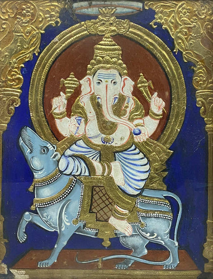
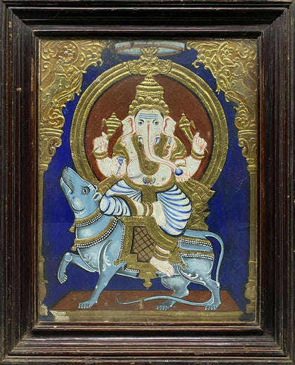
Ganesha Seated on Mooshika
Tanjore Painting 22 x 1.5 x 27 inches -
Tyagaraja
Tanjore Painting 25 x 2 x 31.75 inchesPrice on Inquiry| Sold -
Meenakshi
Tanjore Painting 28 x 2 x 32 inchesPrice on Inquiry| Sold -
Gandhi and Bharat Mata
Tanjore Painting 35 x 3.5 x 41 inchesPrice on Inquiry| Sold -
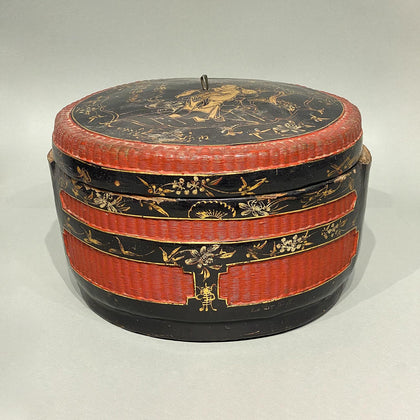
Chinese Lacquer Storage Box
Lacquer and Bamboo 11.75 x 11.5 x 8 inches -
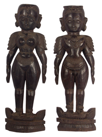
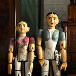
Marapachi Dolls (Pair) - 01
Wood 18" (H) x 6" (W)Price on Inquiry| Sold -
Nandi Head
Wood 17" (H) x 17 (W) x 18" (D) -
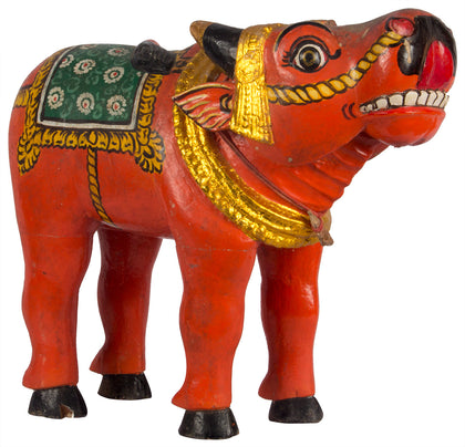
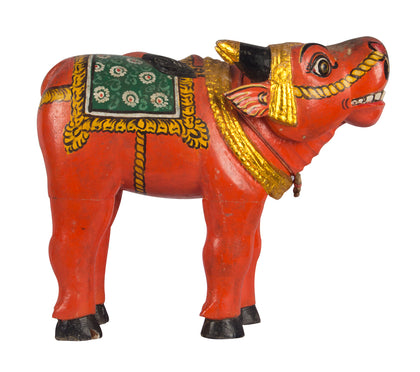
Bhuta Buffalo 2
Wood 14 x 6 x 12 inchesPrice on Inquiry| Sold -
Jewellery Box with Silver Bands
Rosewood with Silver and... 7" (H) x 15" (W) x 10" (D) -


Elephant and Snail Apex of Walking Stick
Brass 6.5 (H) x 5.5 (W) x 2.5 (D) inches (with stand)Price on Inquiry| Sold -

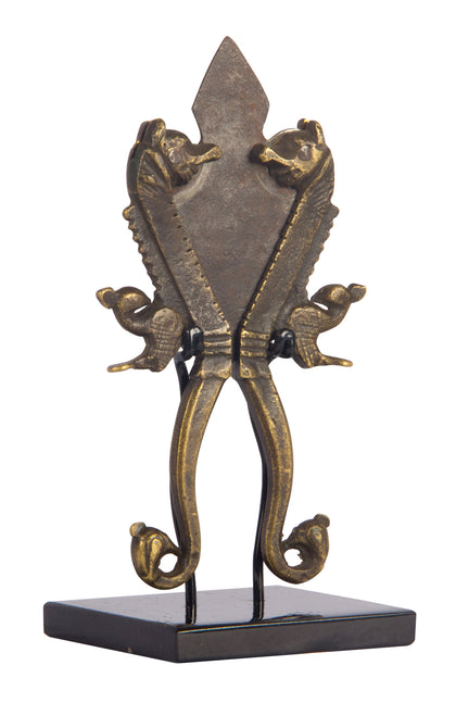
Nutcracker / Katar
Brass and Iron 6.5" (H) x 3" (W)Price on Inquiry| Sold -
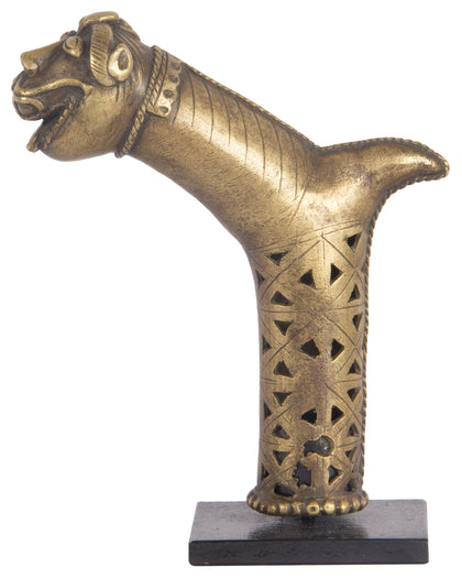
Tiger Cane Handle
Brass 6.5" (H) x 5" (W) x 3" (D)Price on Inquiry| Sold -
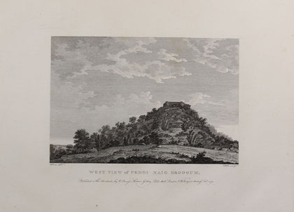
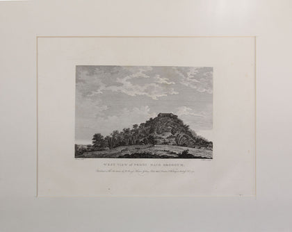
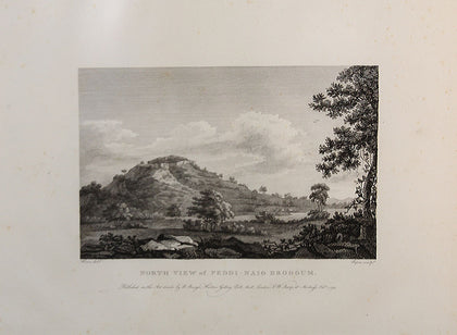
Robert Home’s West View of Peddi – Naig Droogum
Lithograph 15.5 x 12.5 inches (with Mat)Price on Inquiry| Sold -
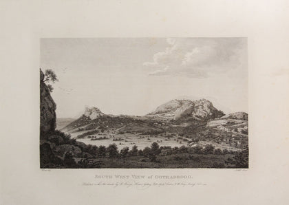
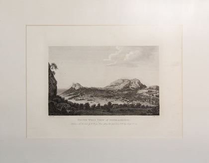
Robert Home’s South West View of Ootradroog
Lithograph 15.5 x 12.5 inches (with Mat)Price on Inquiry| Sold -
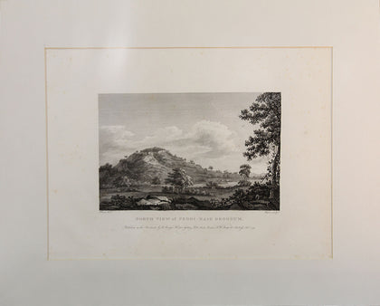
Robert Home’s North View of Peddi – Naig Droogum
Lithograph 15.5 x 12.5 inches (with Mat)Price on Inquiry| Sold -
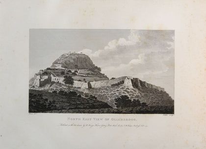
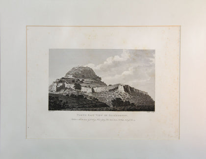
Robert Home’s North East View of Oliahdroog
Lithograph 15.5 x 12.5 inches (with Mat)Price on Inquiry| Sold -
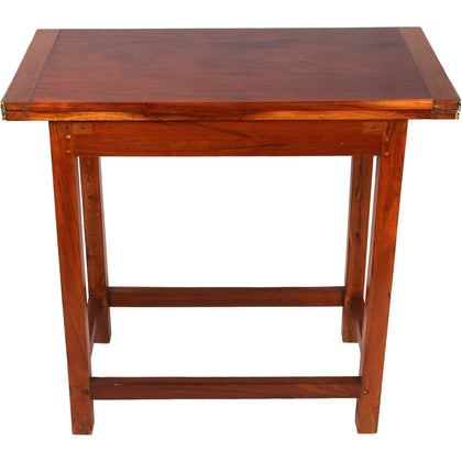
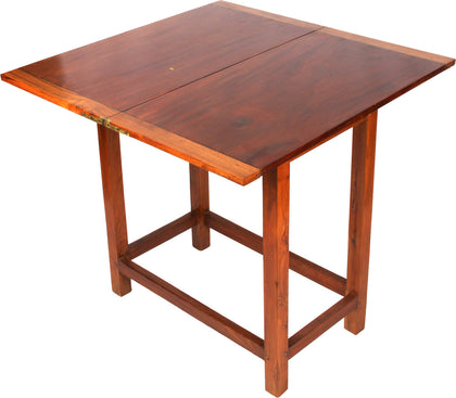
Campaign Folding Card Table
Teak Wood 28.5 x 30 x 30 inchesPrice on Inquiry| Sold -
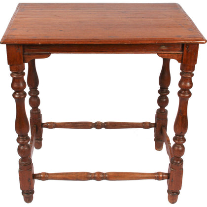
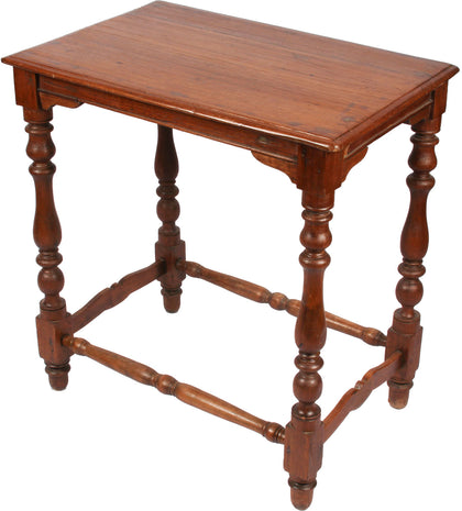
Occasional Table
Teak Wood 27" (H) x 26" (W) x 17" (D)Price on Inquiry| Sold -
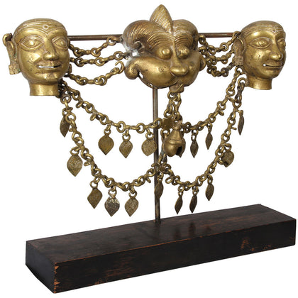
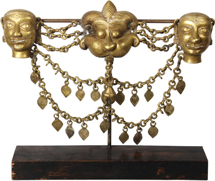
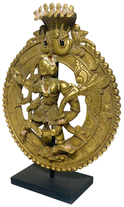
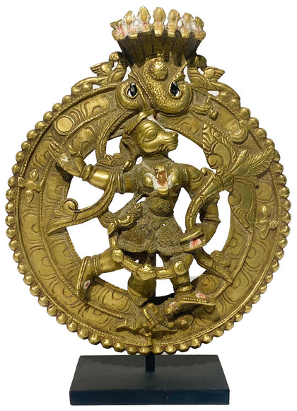
Dancer's Belt
Brass 15" (H) x 16.5" (W) x 4" (D)Price on Inquiry| Sold -
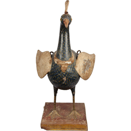
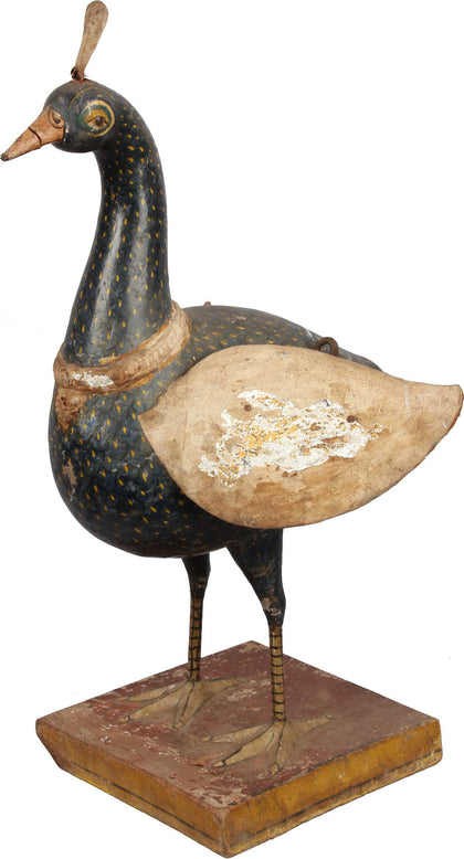
Peacock Vahana
Wood, canvas, sawdust an... 30" (H) x 15" (W) x 17" (D)


