


Loading...
 View Full Screen
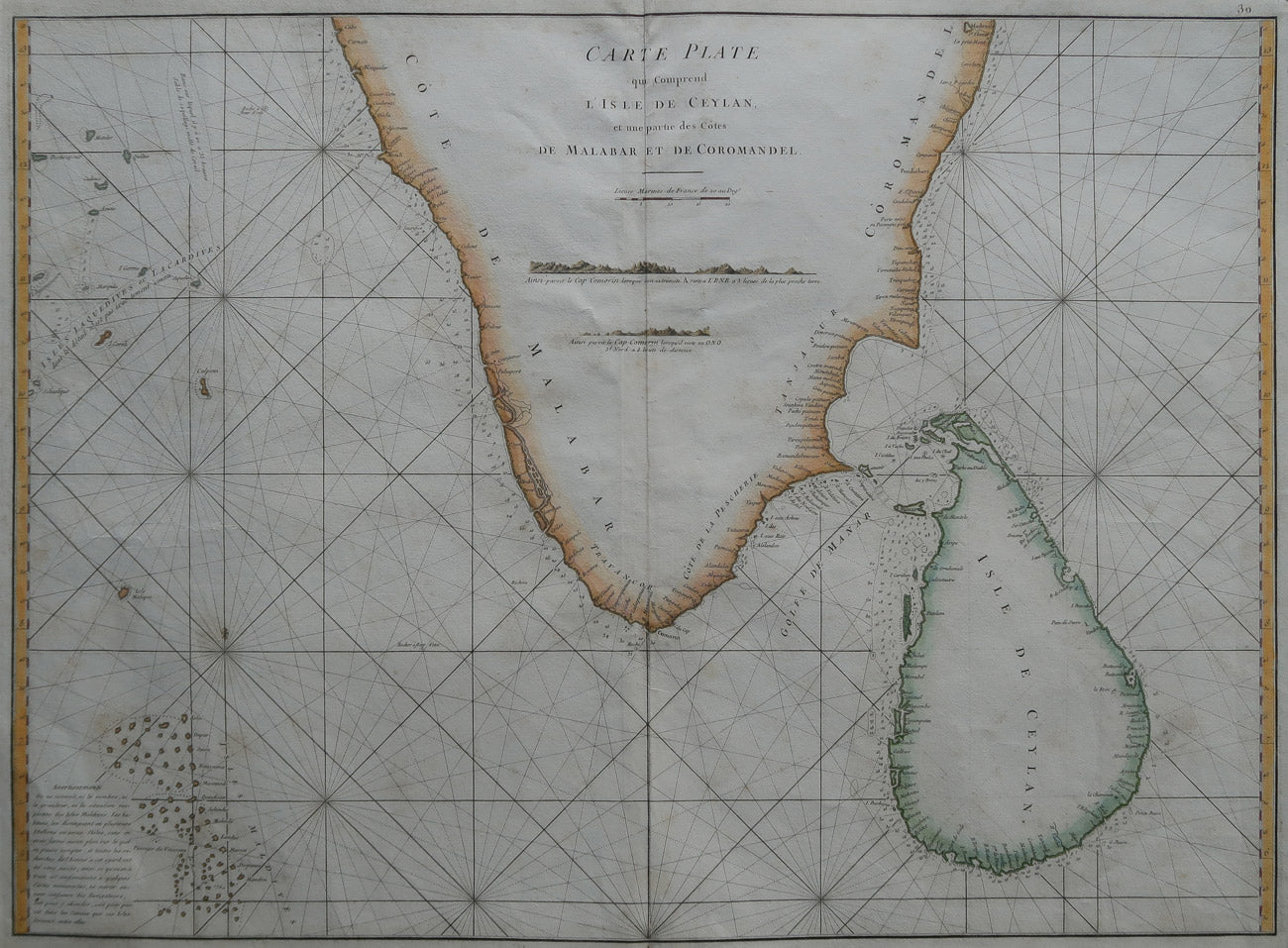
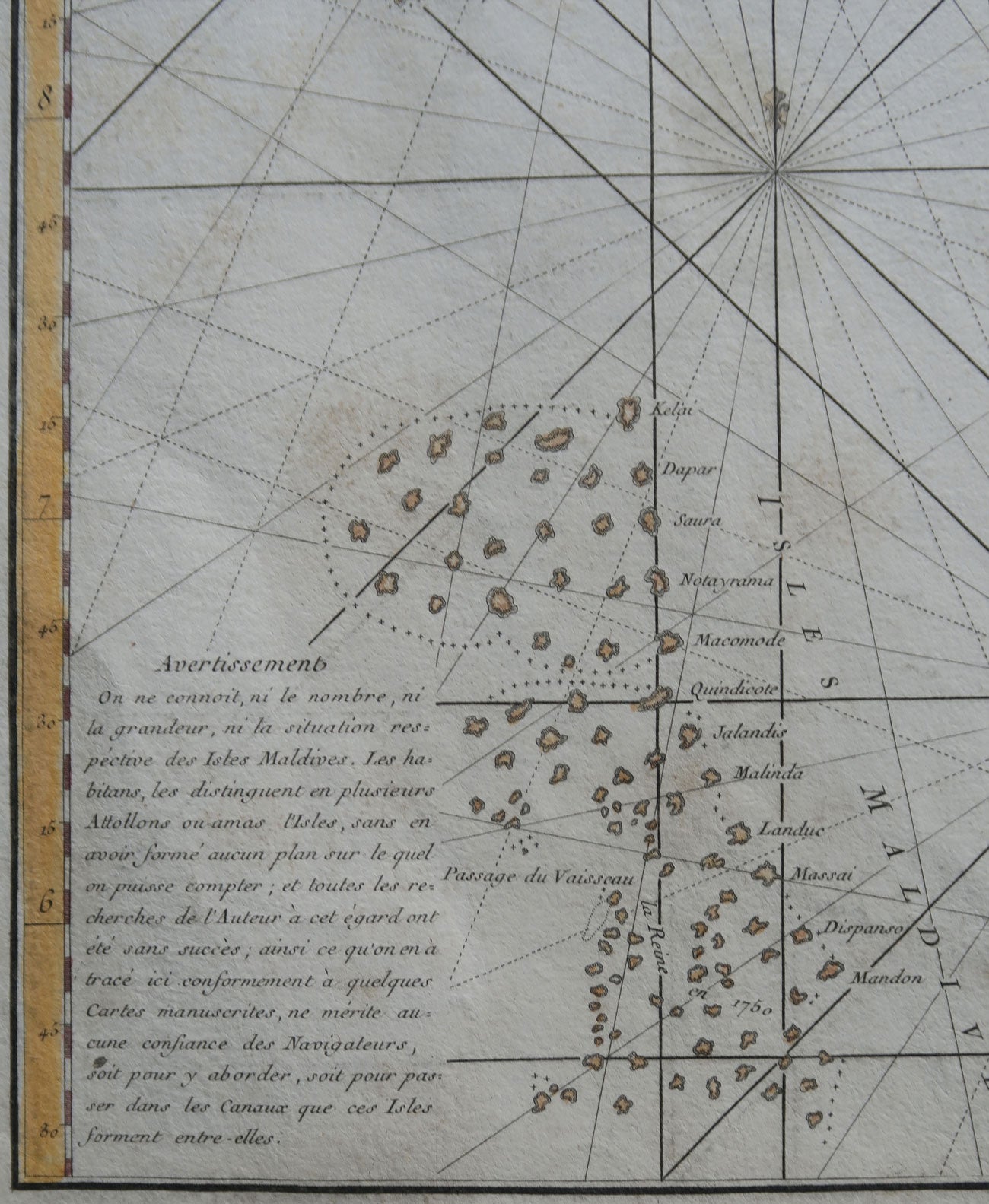
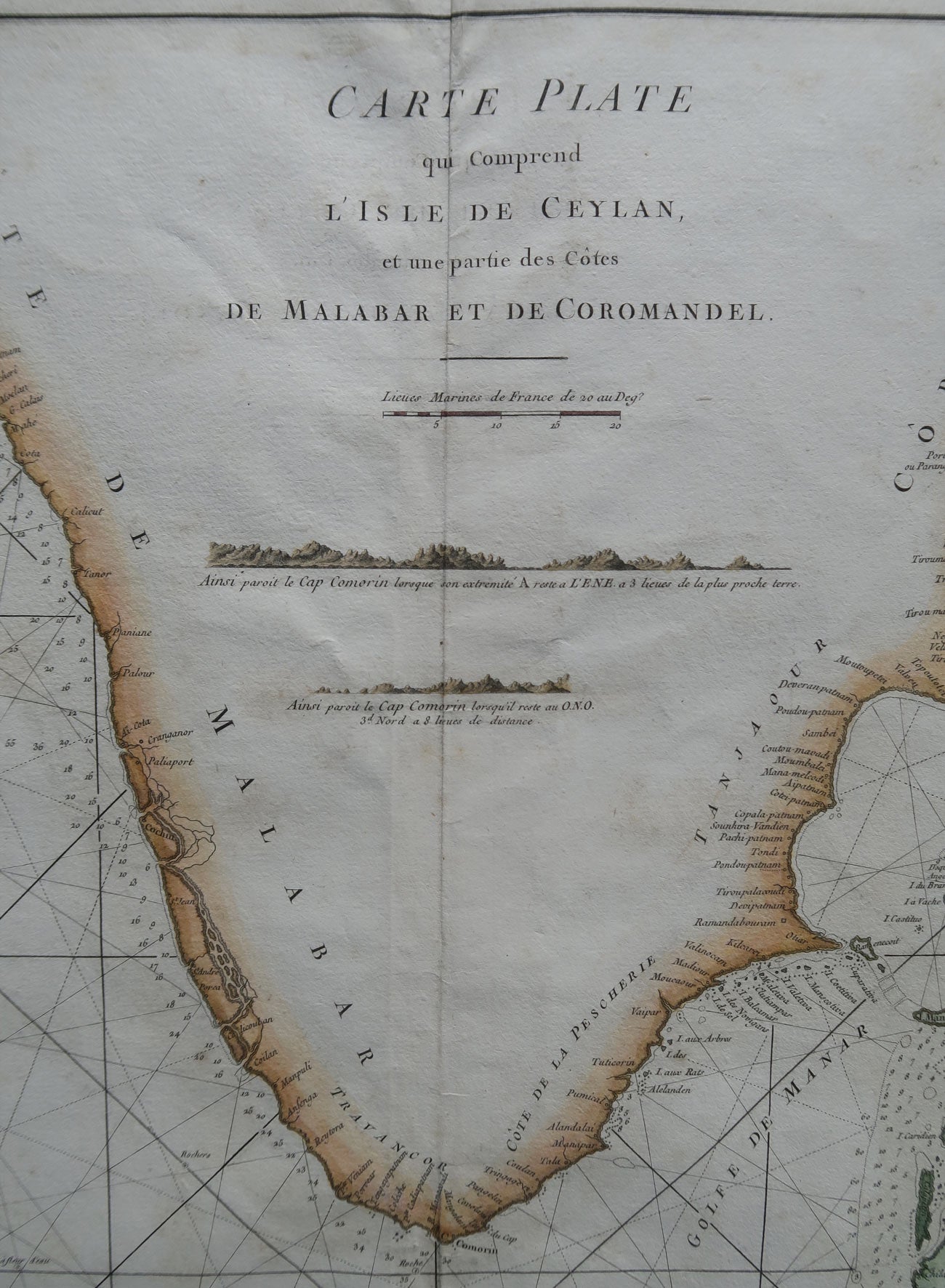
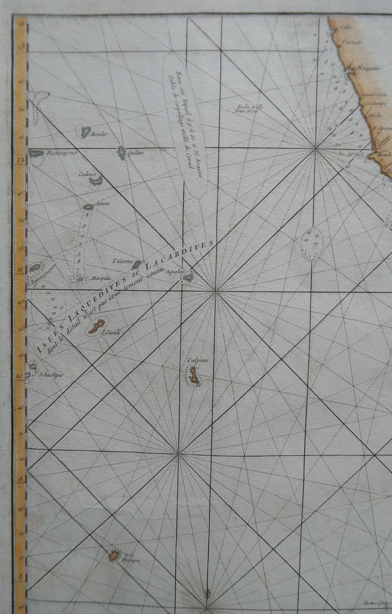
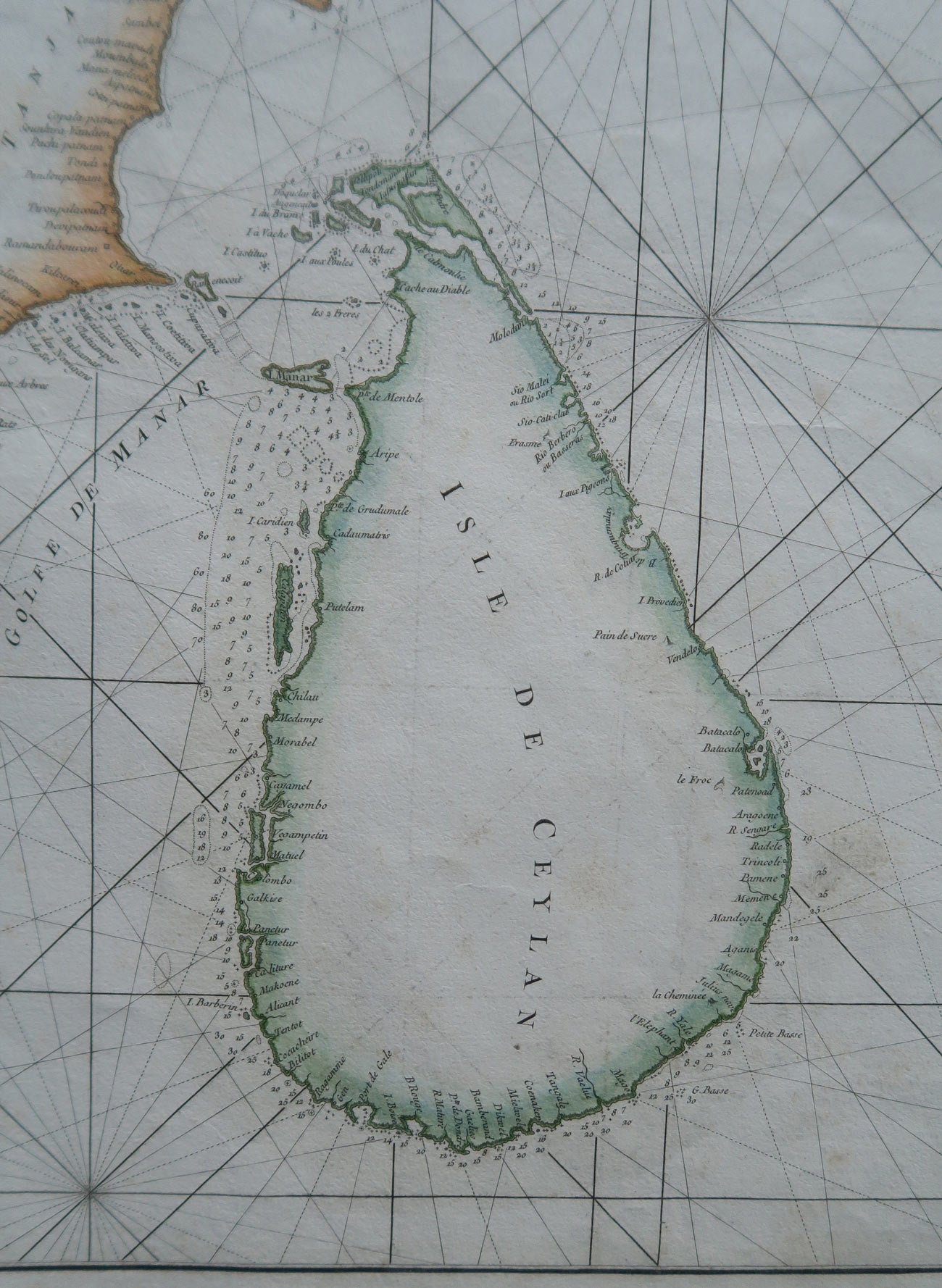
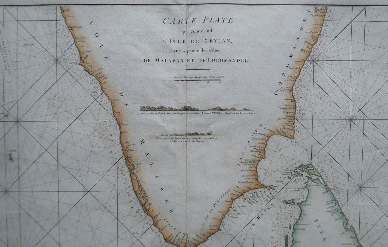
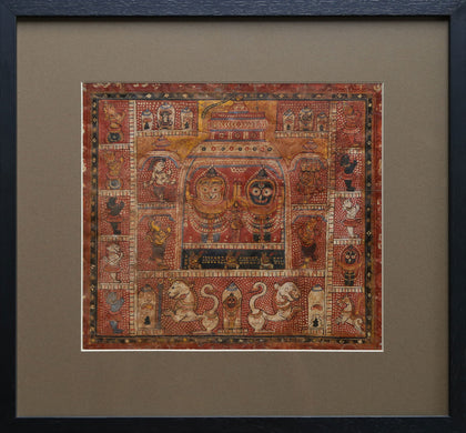
Sea Chart of Ceylon, Malabar and Coromandel Coasts
Price on Inquiry
 Request Information
 Request A Call Back

All orders are insured for transit.
This item cannot be shipped outside India.
You May Also Like
-
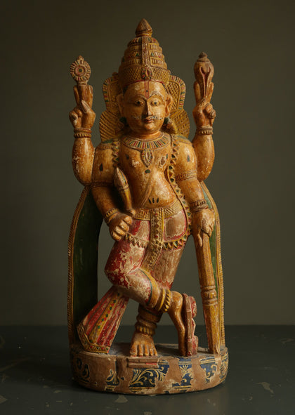
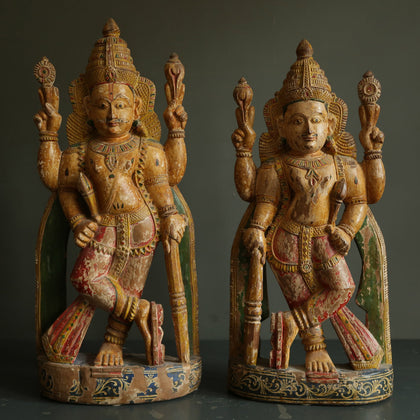
Pair of Dwarapalas
Polychromed Wood 10.5 x 7.2 x 24.5 inchesPrice on Inquiry| Sold -
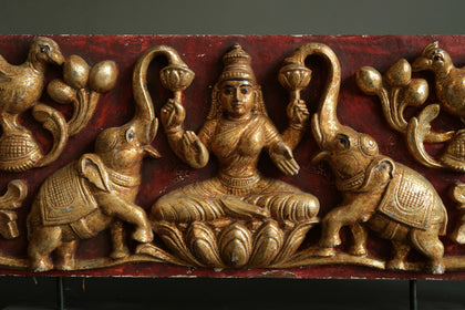
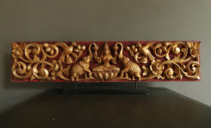
Gajalakshmi Door Panel
Gilded Wood 41.7 x 1.7 x 9 inchesPrice on Inquiry| Sold -
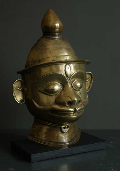
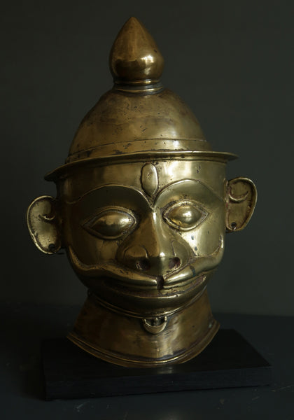
Hanuman Mask
Brass Alloy 9.8 x 5 x 13.7 inchesPrice on Inquiry| Sold -
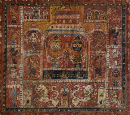
The Jagannath Temple
Pigments and Lacquer on ... 12 x 13.5 inchesPrice on Inquiry| Sold


