


Artisera is an online-first destination for curated artistic luxury. Since 2015, we have helped customers in 100+ cities worldwide,
discover the most exquisite pieces for their collection. We know that shopping online for high value items requires trust and comfort,
and that is precisely what we build through our unique offering.
- DISCOVER OUR WORLD -

- Limited Edition Prints -
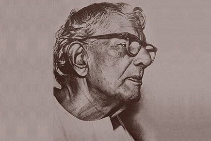
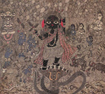
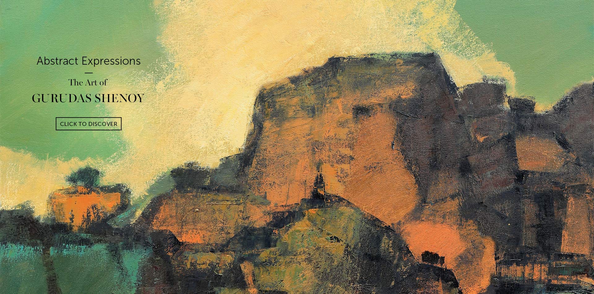
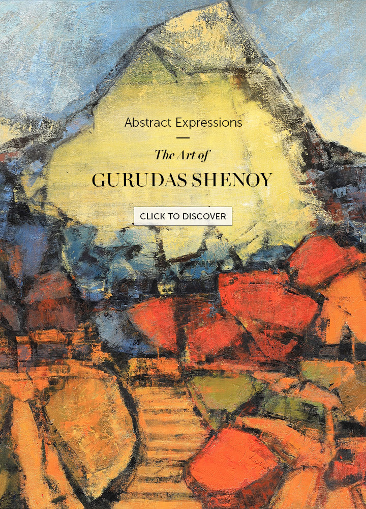
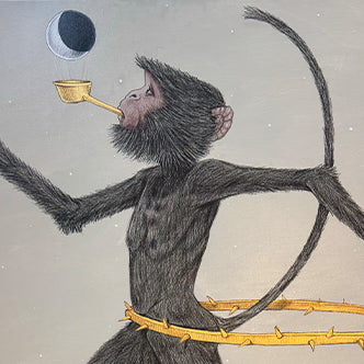
A collection of limited edition masterpieces by India's most acclaimed artists; serigraphs offer a fantastic way to own works by masters such as M.F. Husain, Thota Vaikuntam, S.H. Raza and many more, at affordable prices.
-

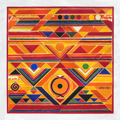
Sapta Ras
Serigraph on Paper 60 x 60 inchesS.H. Raza -
Celebration
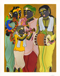
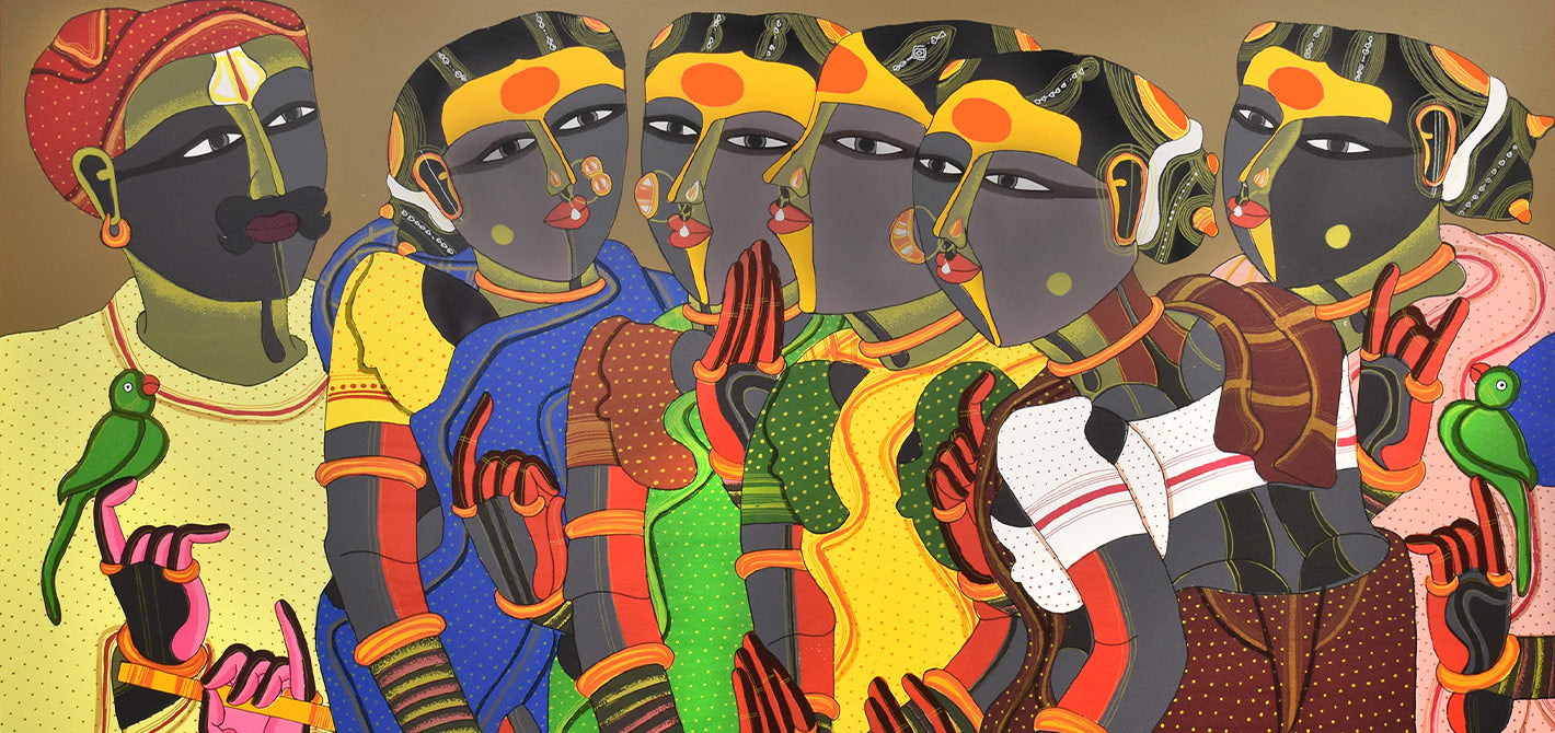
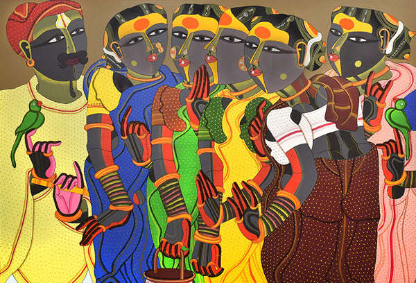
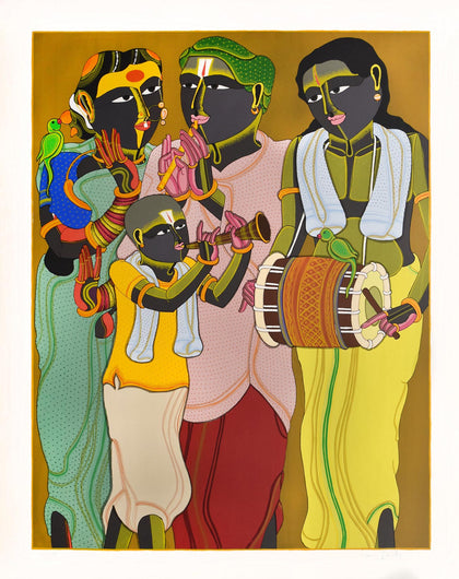
Serigraph on Paper 50 x 40 inchesThota Vaikuntam -
The Golden Womb - 10
Serigraph on Metallic Fi... 19.5 x 19.5 inchesSeema Kohli -
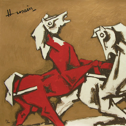
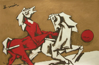
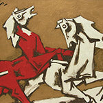
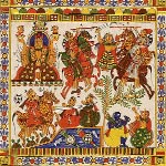
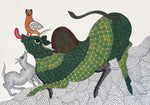
Horses - II
Serigraph on Paper 40 x 60 inchesM.F. Husain -
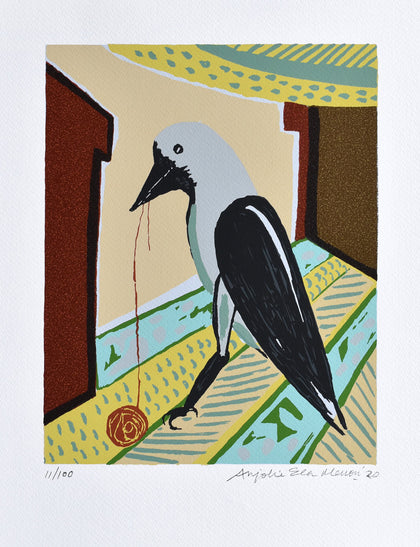
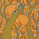
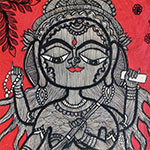
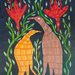
Crow
Serigraph on Paper 20 x 15 inchesAnjolie Ela Menon -
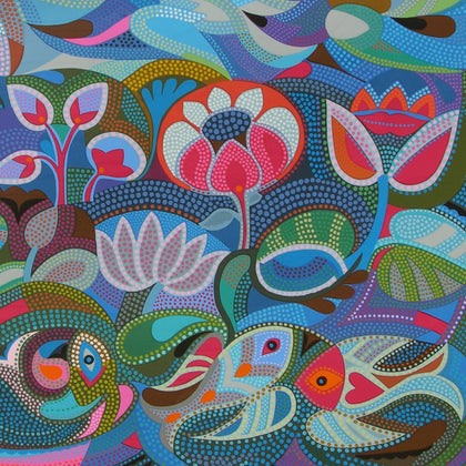
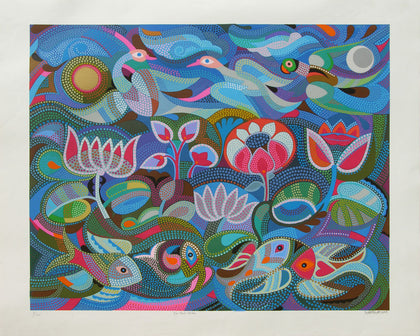
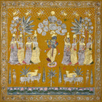
Jal-Thal-Nabh
Serigraph on Paper 40 x 50 inchesJyoti Bhatt


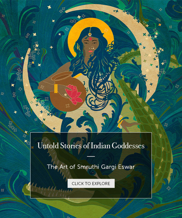


- CLIENT STORIES -
-
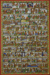
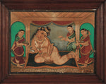
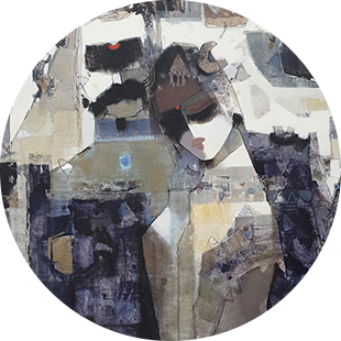
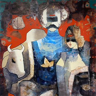
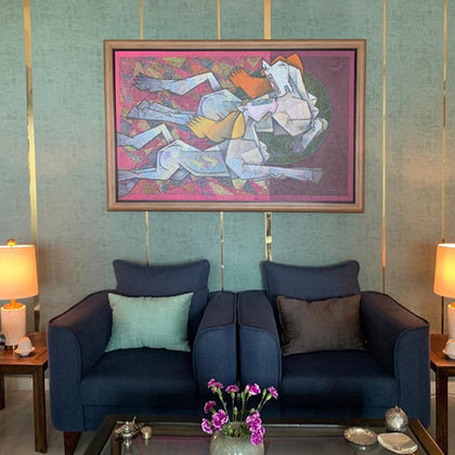 Painting by Dinkar JadhavClient: M. Chopra
Gurgaon, India -
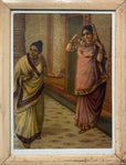
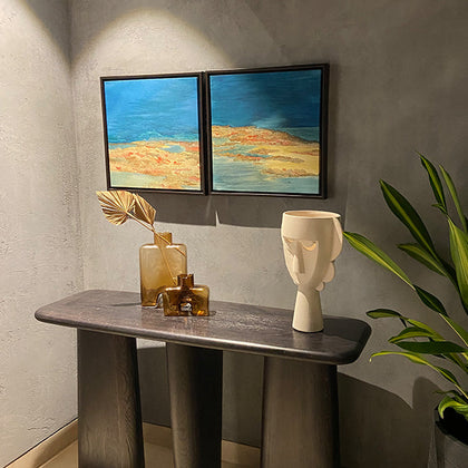 Paintings by Claire IonoClient: A. Banerji
Bangalore, India -
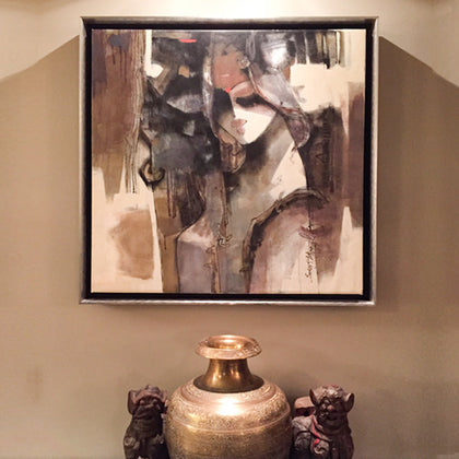 Painting by Sachin JaltareClient: Sonal Gandhi
Chicago, USA


- Gift cards -


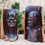
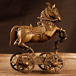
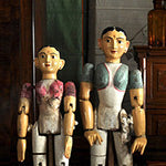
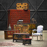
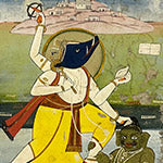
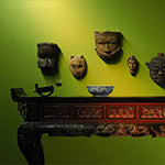
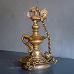
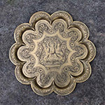
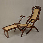
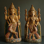
- EDITOR'S PICKS -
-
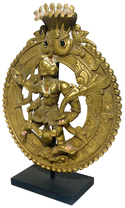
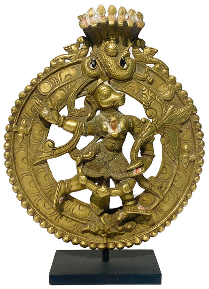
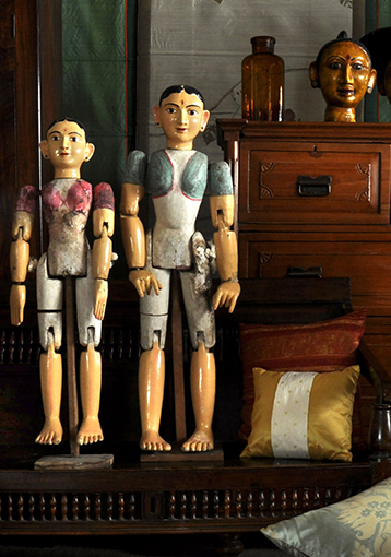
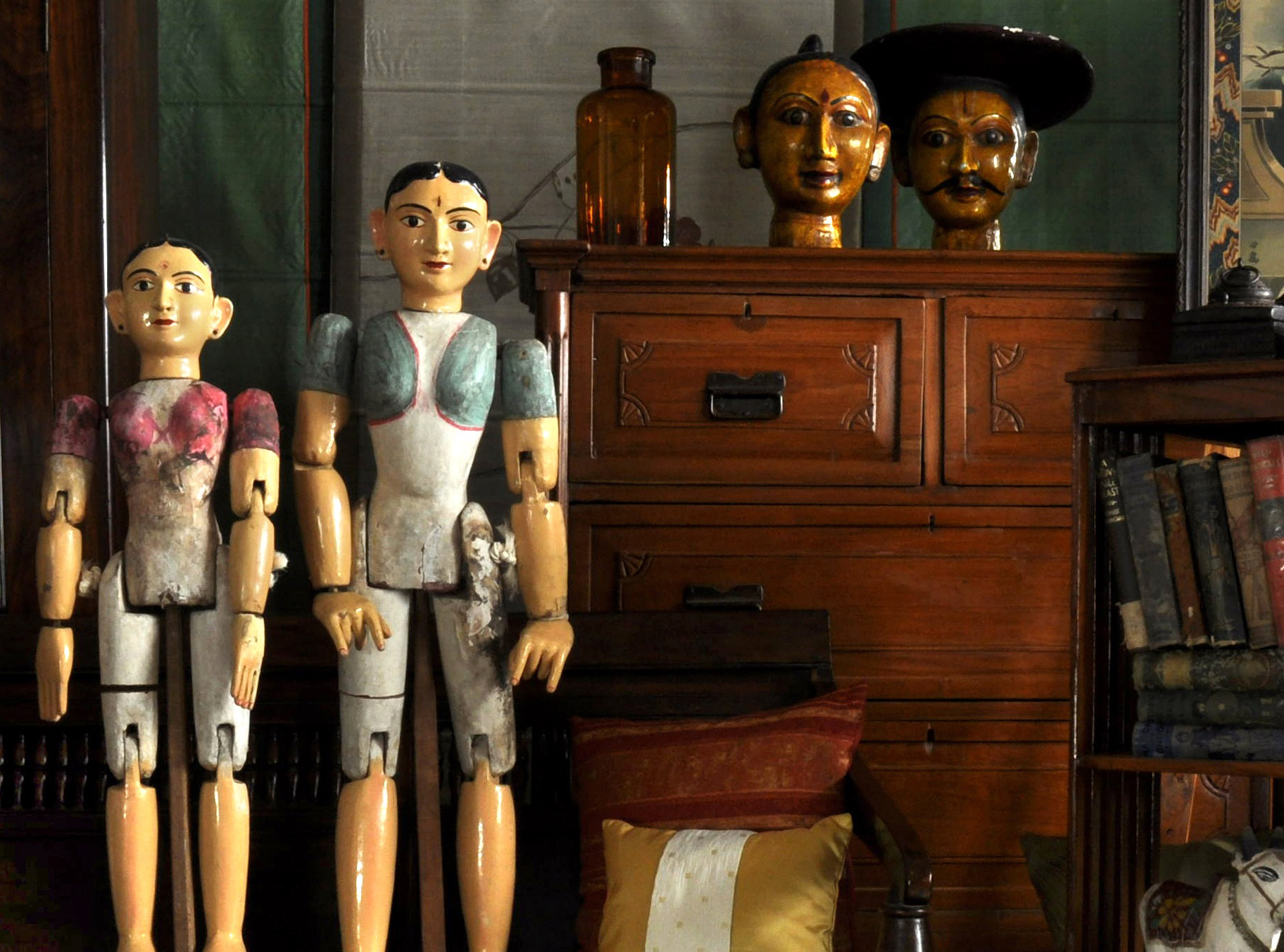
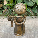
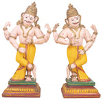
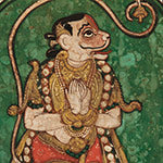
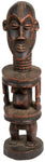
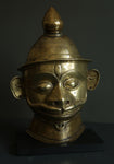
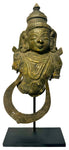
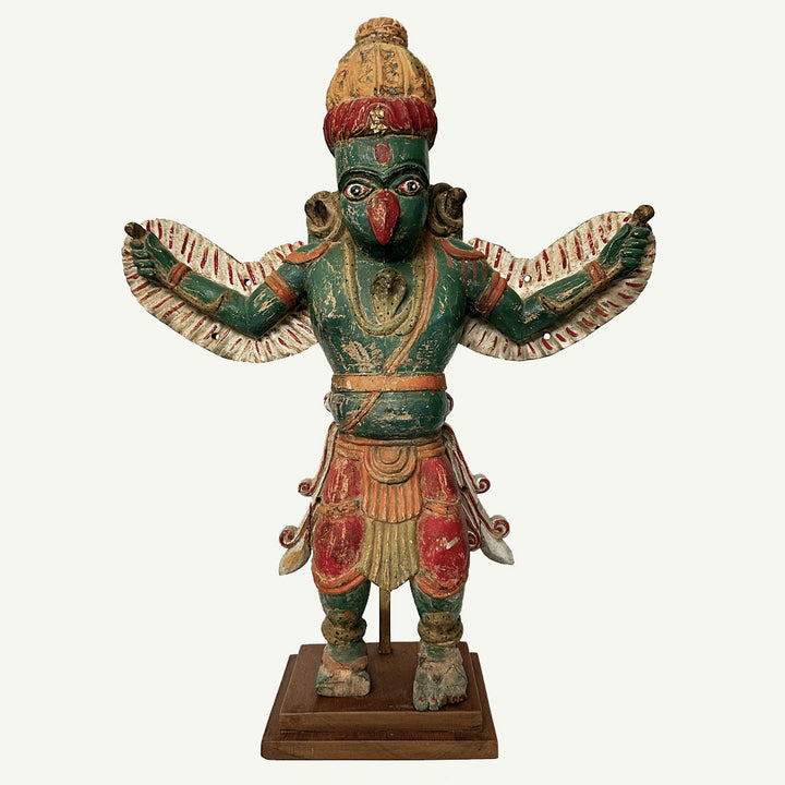
Hanuman Plaque 01
Brass 6 x 2 x 7.75 inches -
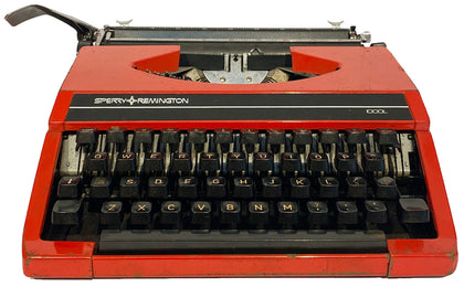
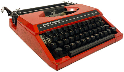
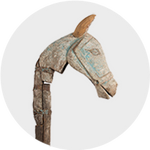
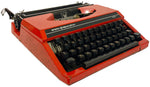
Sperry Remington Idool Red Typewriter
Assorted Materials 13.5 x 12 x 4.5 Inches -
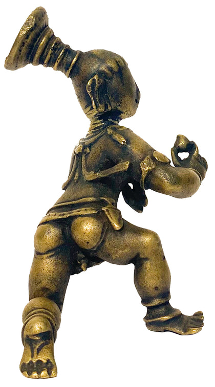
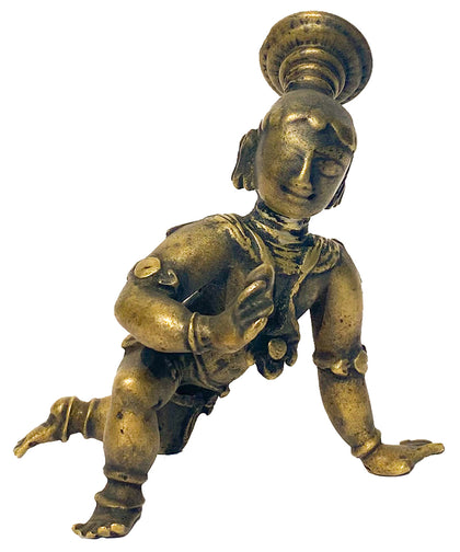
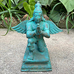
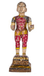
Bala Krishna
Bronze 3.5 x 3.5 x 4 inches -

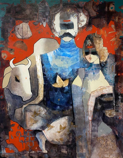
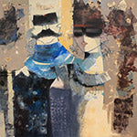
Untitled SJ33
Mixed Media on Canvas 60 x 48 inchesSachin Jaltare -
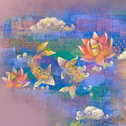

Prakriti 02
Acrylic on Canvas 36 x 36 inchesShampa Sircar Das -
Crow
Serigraph on Paper 20 x 15 inchesAnjolie Ela Menon