


Loading...
 View Full Screen
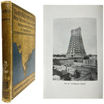
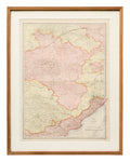
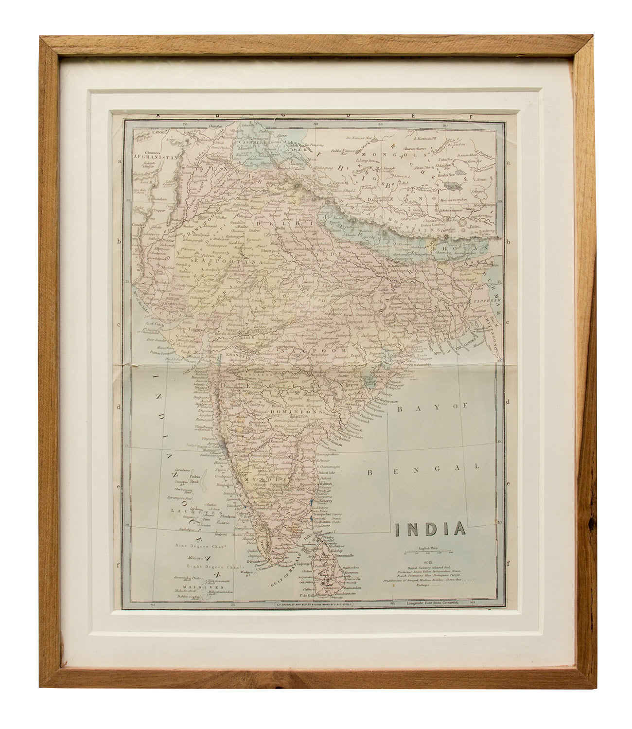
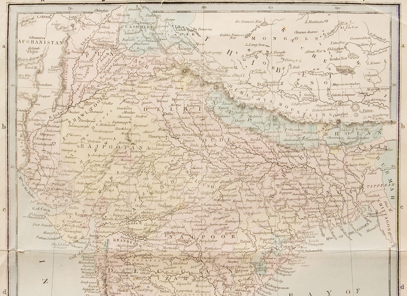
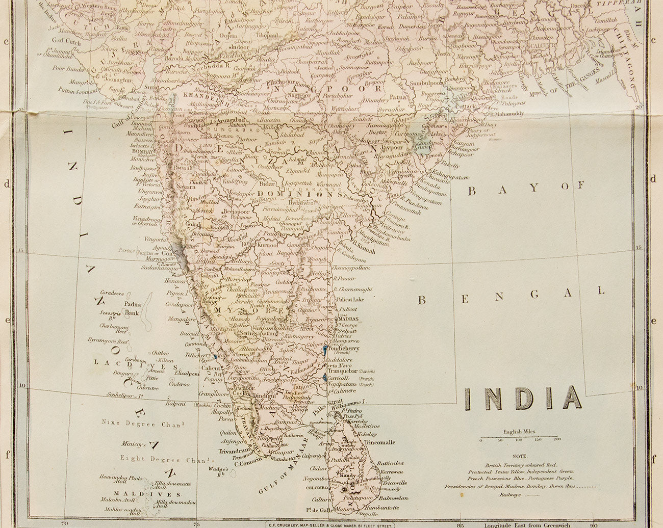
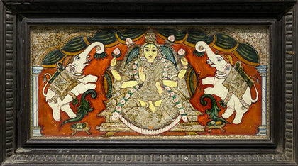
Map of India, 1870
Price on Inquiry
 Request Information
 Request A Call Back

 This artwork is accompanied by an Authenticity Certificate.
All orders are insured for transit.
We ship worldwide.
YOU MAY ALSO LIKE
-
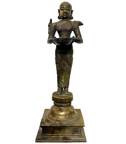
Mukhalinga 05
Brass 9 x 7 x 11 inches -
Mukhalinga 06
Brass 11 x 6 x 16 inches -
Devi Kavacham
Bronze 6.5 x 6 x 14 inches -
Deepalakshmi with Parakeet
Brass 4.75 x 4.75 x 13.75 inches -
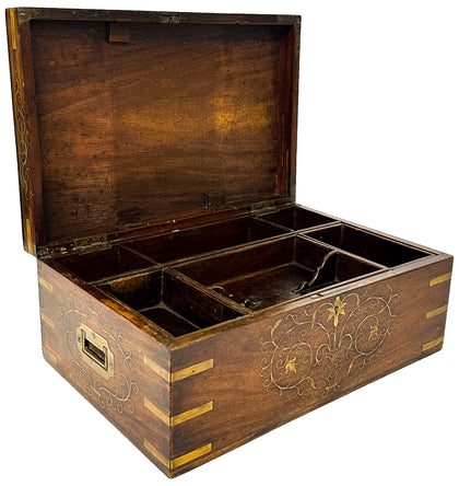
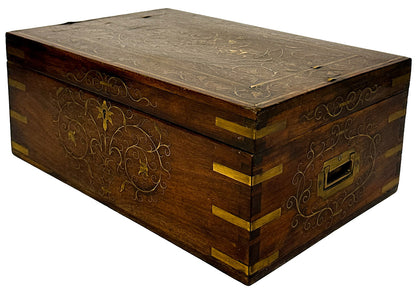
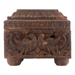
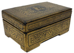
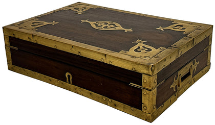
Deccan Jewellery Box with Floral Brass Inlay
Rosewood and Brass 15 x 10 x 6.25 inches -
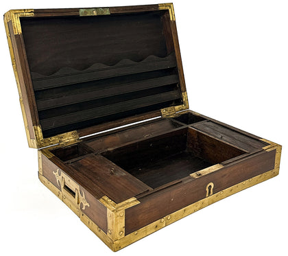
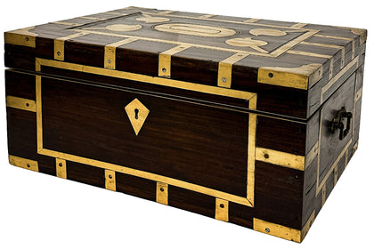
Rosewood Jewellery Box with Brass Trim 01
Rosewood and Brass 14 x 9.5 x 4.5 inches -
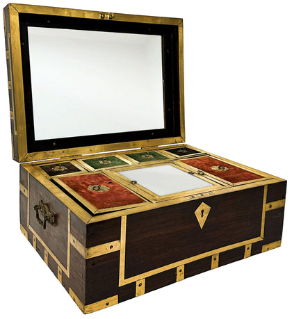
Rosewood Jewellery Box with Brass Trim 02
Rosewood and Brass 17.5 x 12.5 x 8 inches -
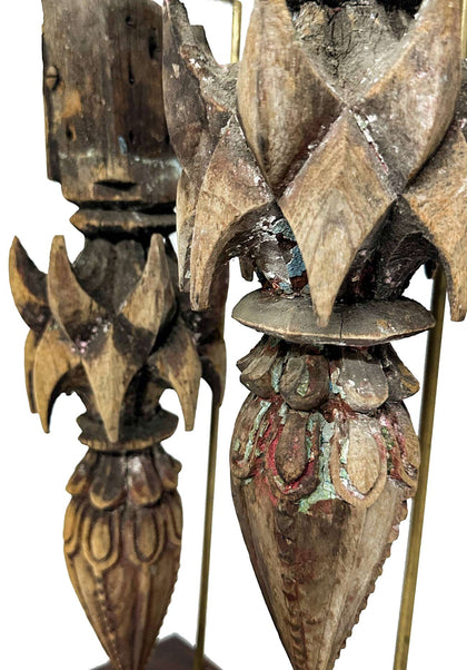
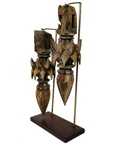
Deccan Architectural Elements
Teakwood 10 x 4.25 x 20 inchesPrice on Inquiry| Sold -
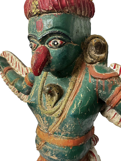
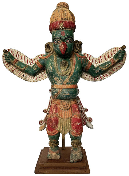
Wooden Garuda
Polychrome Wood 27 x 9 x 34 inchesPrice on Inquiry| Sold -
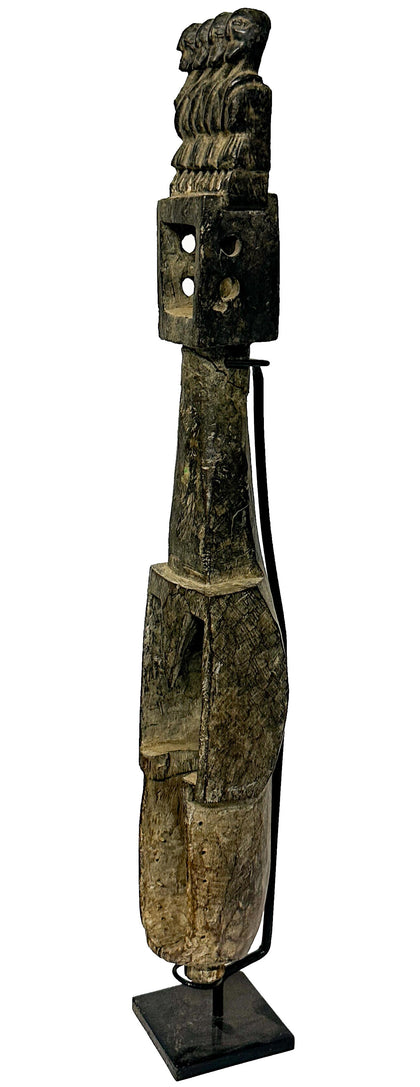
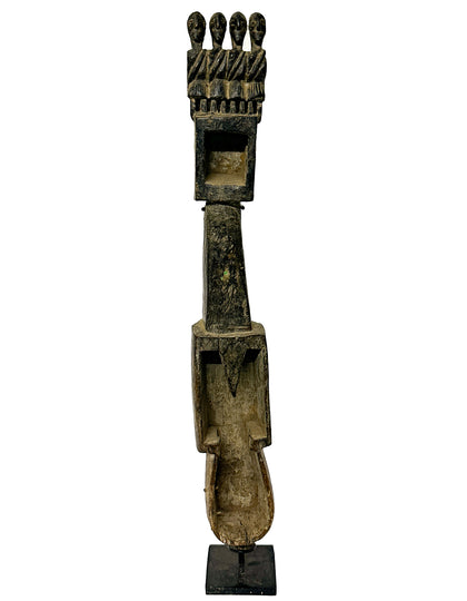
Dhodro Banam 01
Wood 4.5 x 4 x 30.5 inches -
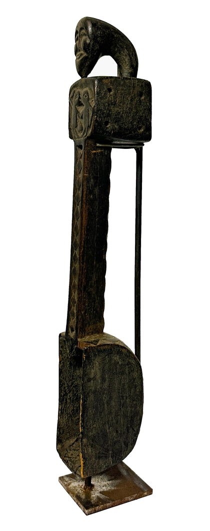
Dhodro Banam 02
Wood 3.5 x 3.75 x 23 inches -
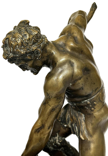
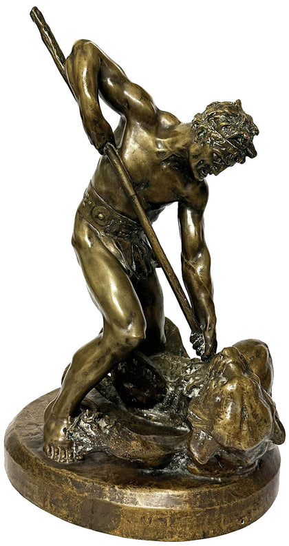
Gladiator Battling With Tiger by Marc Robert
Bronze 16 x 13.5 x 20 inchesPrice on Inquiry| Sold -
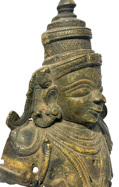
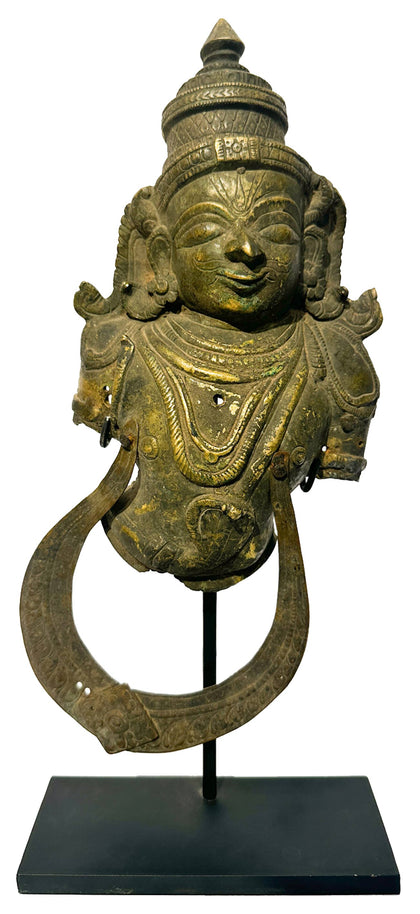
Garuda Kavacham
Brass 6.5 x 2.5 x 14 inchesPrice on Inquiry| Sold -
Nandi 05
Brass 4.5 x 2 x 5 inches -
Makara Yazhi (Yali) Palki Finial
Brass 7.5 x 3 x 5.25 inches -
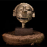
Hanuman Mukhavata
Brass 6.5 x 3.75 x 11 inches -
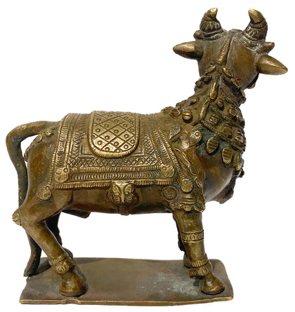
Nandi 06
Brass 5.75 x 2.5 x 6.5 inches -
Bala Krishna
Bronze 3.5 x 3.5 x 4 inches -
Maisandaya
Bronze 10.25 x 4.25 x 6.75 inches -
Hanuman Plaque 01
Brass 6 x 2 x 7.75 inches -
Hanuman Plaque 02
Brass 4.5 x 0.75 x 5 inches -
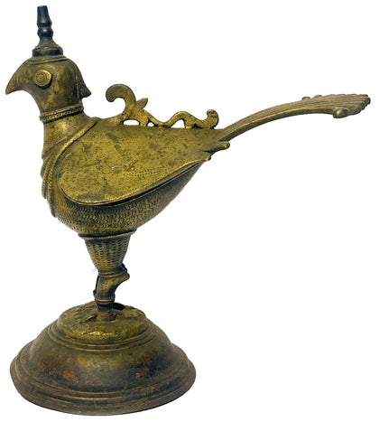
Deccan Bird Oil Lamp
Brass 9 x 5 x 9.5 inches -
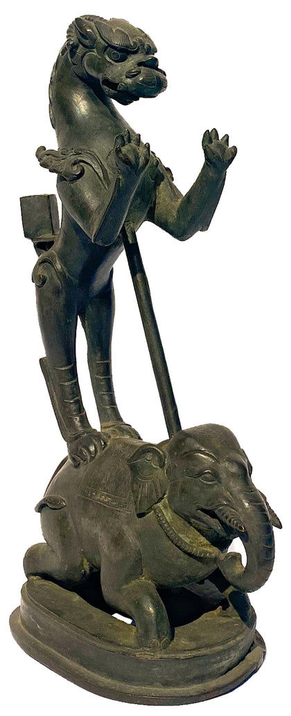
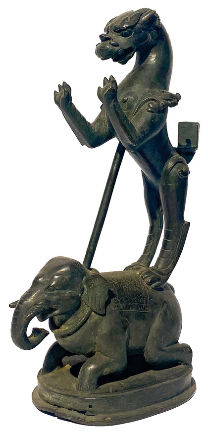
Yali and Elephant Lamp Pedestal
Bronze 7.75 x 4.25 x 13 inches -
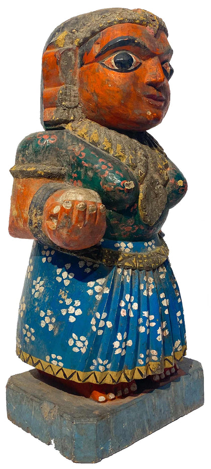
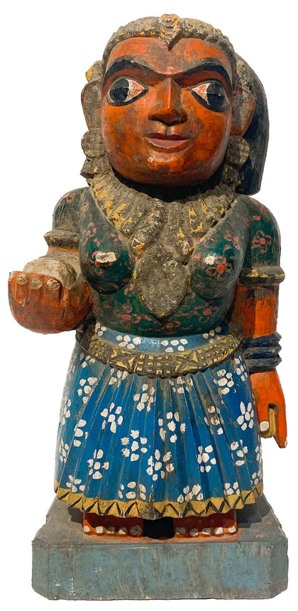
Chikku (Female Attendant)
Polychrome Wood 6.5 x 5 x 13.5 inches -
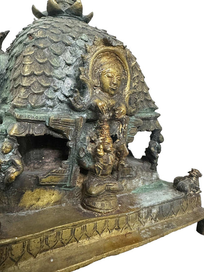
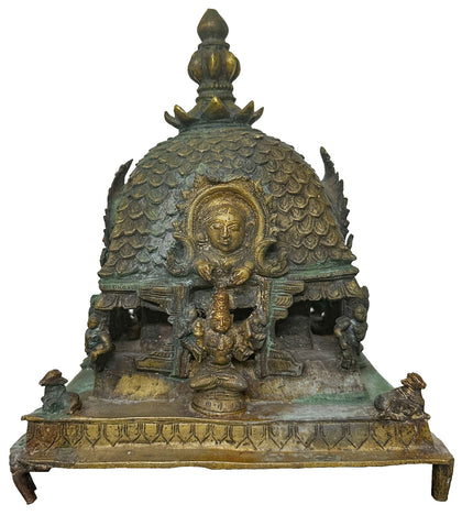
Mandapam
Brass 9 x 9 x 11 inchesPrice on Inquiry -
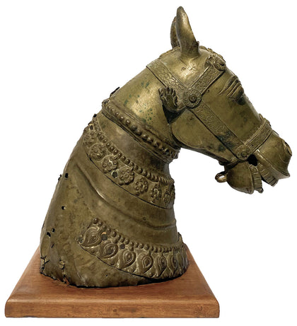
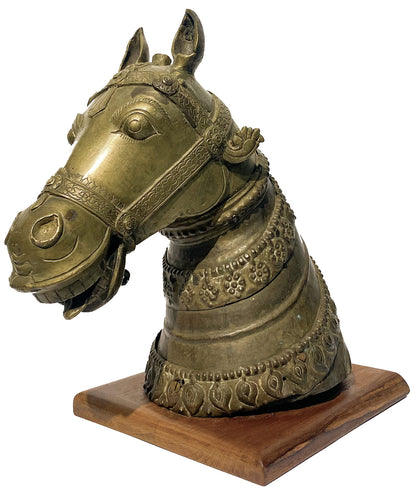
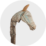
Horse Head
Brass 14.5 x 9.5 x 15.5 inches -
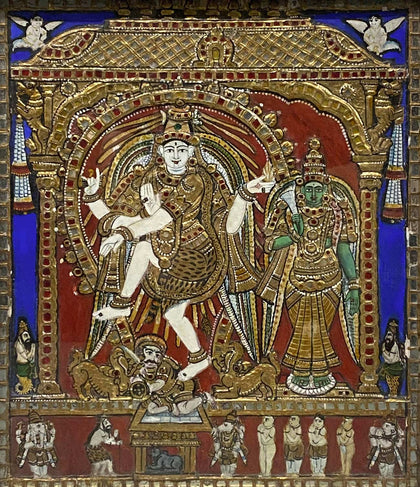
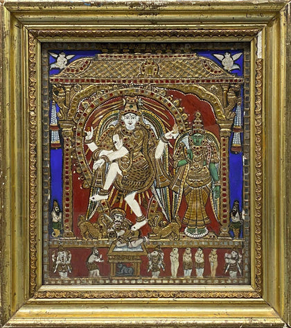
Nataraja and Meenakshi
Tanjore Painting 16 x 2.5 x 17.75 inchesPrice on Inquiry| Sold -
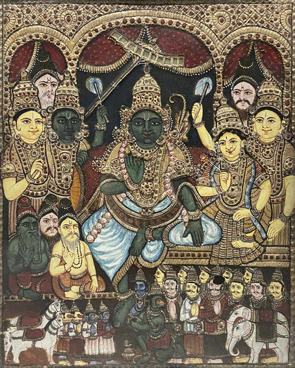
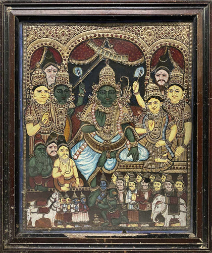
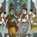
Rama Pattabhishekha (Rama's Coronation)
Tanjore Painting 20 x 1.5 x 24 inches -
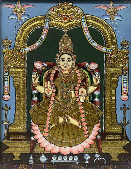
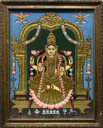
Varalakshmi
Tanjore Painting 20.5 x 2 x 25.5 inches -
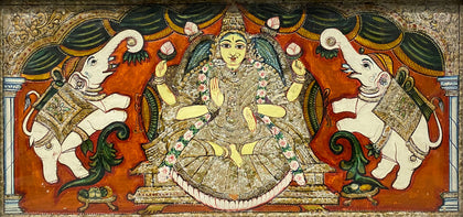
Gajalakshmi
Tanjore Painting 27 x 1.75 x 15 inchesPrice on Inquiry| Sold